“The guessing game for the Filipino farmer will soon be over.”
So stated by Department of Agriculture (DA) Secretary Emmanuel “Manny” Piñol state in his Facebook page.
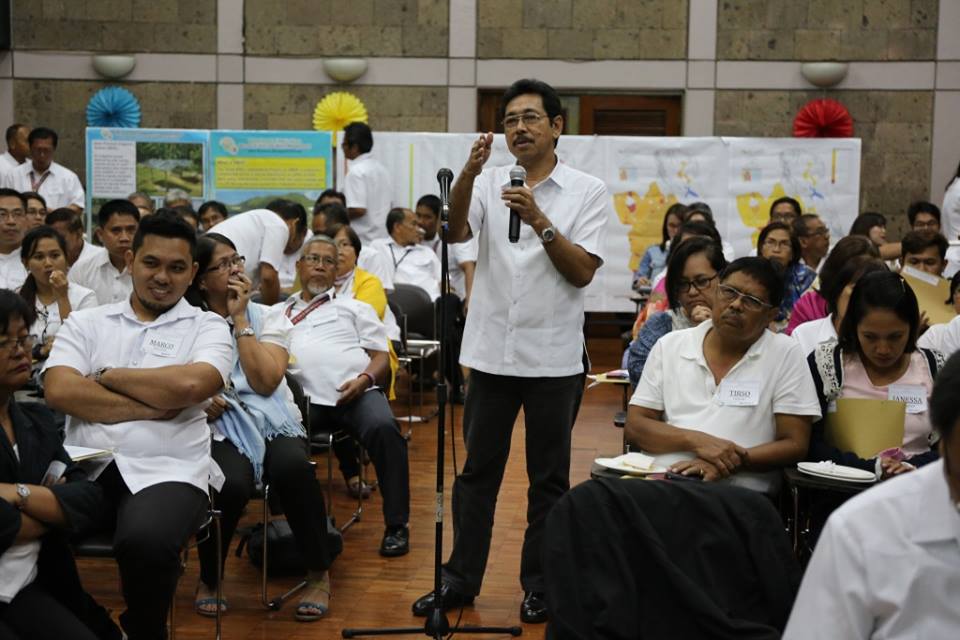
To reinforce his statement, the Bureau of Soils and Water Management (BSWM) organized and conducted the Consultation forum and Output presentation on the Phase I implementation of National Soil Sampling and Testing (NSST) Project at the BSWM Convention Hall on February 27, 2016.
Active participation from the representatives of DA-Regional Field Offices (RFOs) were implored, while comments relative to the presented National Color-Coded Agricultural Guide (NCCAG) Map for each region were systematically solicited during the workshop.
“We need to know your inputs in as far as these outputs are concerned before finally printing and posting it in our portal. This kind of map can be of help to our farmers and it will be a good legacy, once we finalize this color-coded agriculture guide map,” BSWM Deputy Director Sonia M. Salguero said while in the course of dynamic discussion.
The updated and standardized Soil Fertility, Fertilizer-Guide and Rice Suitability maps were among the presented map outputs of 47 major rice producing provinces of the country. The results were generated from the 23,304 soil samples collected and scientifically analyzed in the fieldwork conducted by the BSWM from August to November last year.
According to BSWM OIC-Director Angel C. Enriquez, a web-based interface for enhanced access by farmers and other stakeholders of the color-coded maps, is currently being developed by the BSWM to eventually realize the DA’s vision of rice self-sufficiency by the year 2019.
“The one thing that I can assure you is the reliability of these maps simply because scientific procedure has been done in order to come up with these outputs, which means that the data that will be inputted in the website are accurate because it is our mandate to provide leadership and management of soil and water resources to address multi-environmental concerns such as land degradation, climate change and biodiversity loss,” she added.
These map outputs will guide the farmers on identifying the kind and rate of fertilizers to apply and which crops are suitable to plant in agricultural parcels. It will also provide them access to significant information such as extent of area surveyed (in hectares), irrigated and non-irrigated areas and the level or status of soil fertility.
The Phase II implementation of NSST project covering the remaining 35 provinces will begin on March this year. (AMELIA M. FERMIA, Project Assistant III)